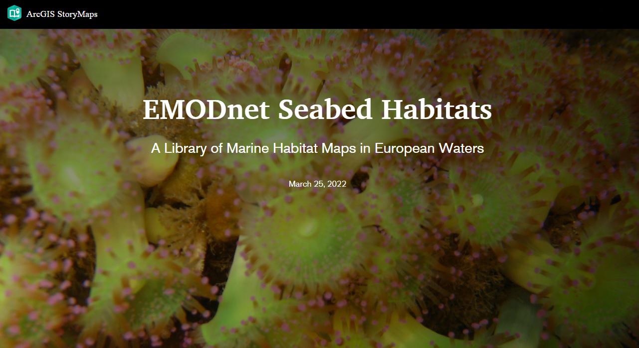
EMODnet Seabed Habitats Story Map

The EMODnet Seabed Habitat map viewer displays and gives access to broad scale predictive habitat maps and collated seabed habitat maps from surveys within Europe's marine waters. In addition, habitat models, composite products, protected habitats and point data have also been collated. This story map gives an illustrative description of the products found on the portal.
The story map (or click here to view full-width) is divided into 5 sections mirroring the organisation of the mapping products on the map viewer. These sections include:
- Broad-scale habitat maps – overview of EUSeaMap and the data used to generate it.
- Habitat maps from surveys – examples of some of the 900 habitat maps collated to date including EUNIS and Habitats Directive Annex I habitat maps.
- Modelled habitat maps – examples of habitat models that have been collated across 5 sea basins by the project to date.
- Point data – extent of the nearly half million points collated by the project.
- Composite products – examples of bespoke habitat mapping products created by the project team as a result of direct engagement with stakeholders and a review of their mapping requirements.
A series of story maps for each Regional Sea Convention region, focusing on the specific products and classifications that are relevant to that region, will be published throughout this phase of EMODnet Seabed Habitats.
